
St. Augustine to Repave 23 Streets Starting July 20 — Here's Where You Can't Park
A four-week milling and resurfacing project kicks off the week of July 20 across Downtown, West City, Lighthouse Park and Davis Shores. Streets stay open, but on-street parking will be banned in work zones on weekdays — and violators can be towed.

St. Augustine will begin milling and resurfacing 23 streets the week of July 20, and the four-week project will disrupt traffic and wipe out on-street parking across four neighborhoods — Downtown, West City, Lighthouse Park and Davis Shores. Anyone who lives, drives, or parks in those areas needs to know two things now: which stretches to avoid, and when they can't leave a car at the curb without risking a tow.
According to the city, streets will stay open while crews work, but on-street parking will be prohibited in active work zones from 7 a.m. to 5 p.m., Monday through Friday. Vehicles that block the project may be towed at the owner's expense.
Don't get towed: Move your vehicle off any street listed below before 7 a.m. on weekdays while crews are working your block. Cars impeding the project can be towed at the owner's expense.
The city's contractor expects to finish within four weeks, though officials cautioned that weather could push the timeline later.
Where the work is happening
The 23 street sections are spread across four areas. Here's the full breakdown by neighborhood.
Sponsored
Downtown
- Riberia Street — King to Orange streets
- Orange and Saragossa streets — U.S. 1 to Cordova Street
- Cuna Street — Cordova to Spanish streets
- Markland Place — King to Valencia streets
West City
- Fred Waters Way — Palmer to Spring streets
- Nesbit Avenue — Smith Street to Evergreen Avenue
- Travis Place — Blanche Lane to Travis Lane
- South Whitney Street — Anderson to Lena streets
- Spencer Street — South Dixie Highway to U.S. 1
- Aiken Place — Carey to Spencer streets
- Everett Street — Arenta Street to U.S. 1
Lighthouse Park
- East Carver Street — Ponce de Leon Avenue to Red Cox Road
- Magnolia Drive — Dancy Street to Anastasia Boulevard
- Dancy Street — Anastasia Boulevard to Magnolia Drive
- Kenan Street — Menendez Road to West Carver Street
Davis Shores
- Inlet Place — Anastasia Boulevard to its northern dead end
- Arpieka Avenue — Arredondo Avenue to Inlet Drive
- Oglethorpe Boulevard — Inlet Drive to St. Augustine Boulevard
- Ribault Street — Arredondo to Comares avenues
What to expect while you're out
Milling and resurfacing typically means short-term lane restrictions, uneven pavement between passes, and flaggers directing traffic near active crews. Because the streets remain open, drivers should plan for slow-downs rather than full detours — but budgeting extra time through Downtown and the affected neighborhoods for the next month is a smart move.
Residents on the listed streets should plan ahead for weekday parking, especially anyone who normally relies on the curb in front of their home. Guests, deliveries, and contractors will need alternatives during work hours too.
Where to find the map and ask questions
The city has posted the affected sections on its online Pavement Management and Planning Interactive Dashboard, which shows the work locations on a map. Residents with questions can reach the Public Works Department at 904-825-1040.
For more from the City of St. Augustine, visit the city's official website.
We'll update this story if the schedule shifts or weather extends the work.
Sponsored
Stay with St. Johns Community Website for local road, traffic, and neighborhood updates. Follow us on Facebook, Instagram, and X, and join the conversation in our Community Forum. For more like this, read our latest alerts and government & politics coverage.
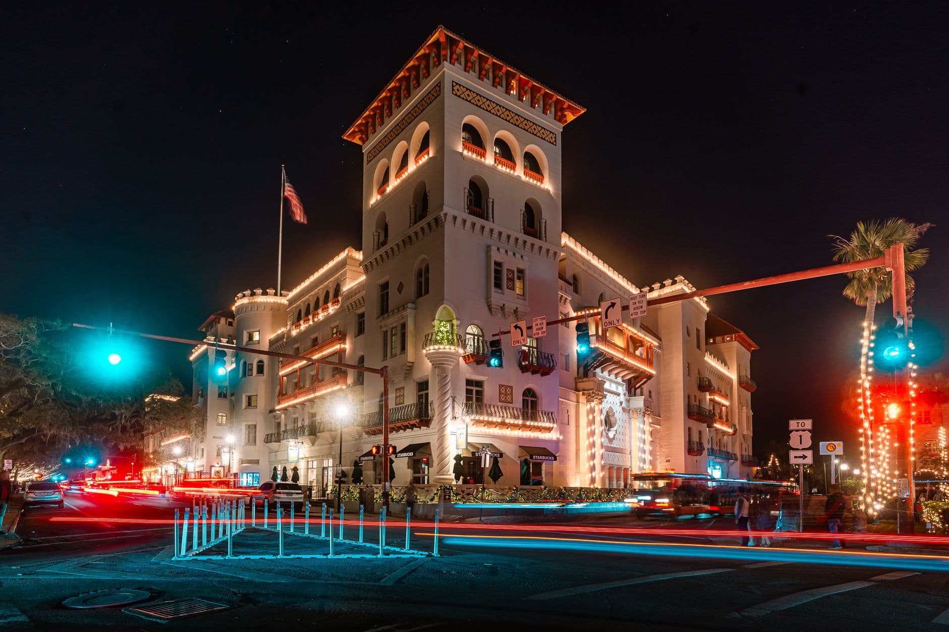
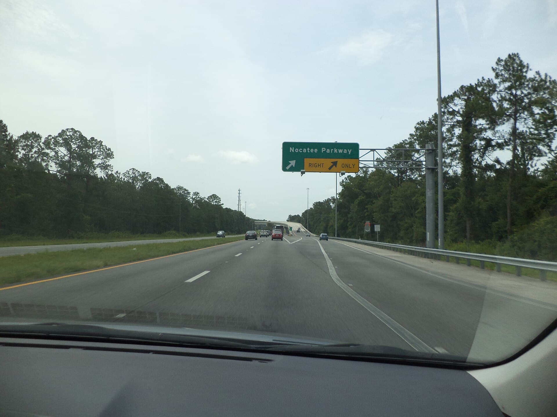
Header photo: DXR / Wikimedia Commons (CC BY-SA 4.0)




What do you think?
Share your perspective with your neighbors.
Free to join. Your draft stays here while you sign in.
Be the first to share your thoughts.